Twenty South Downs trails by rail with John Twisleton
Mid Sussex railway walks
Twenty South Downs trails by rail with John Twisleton

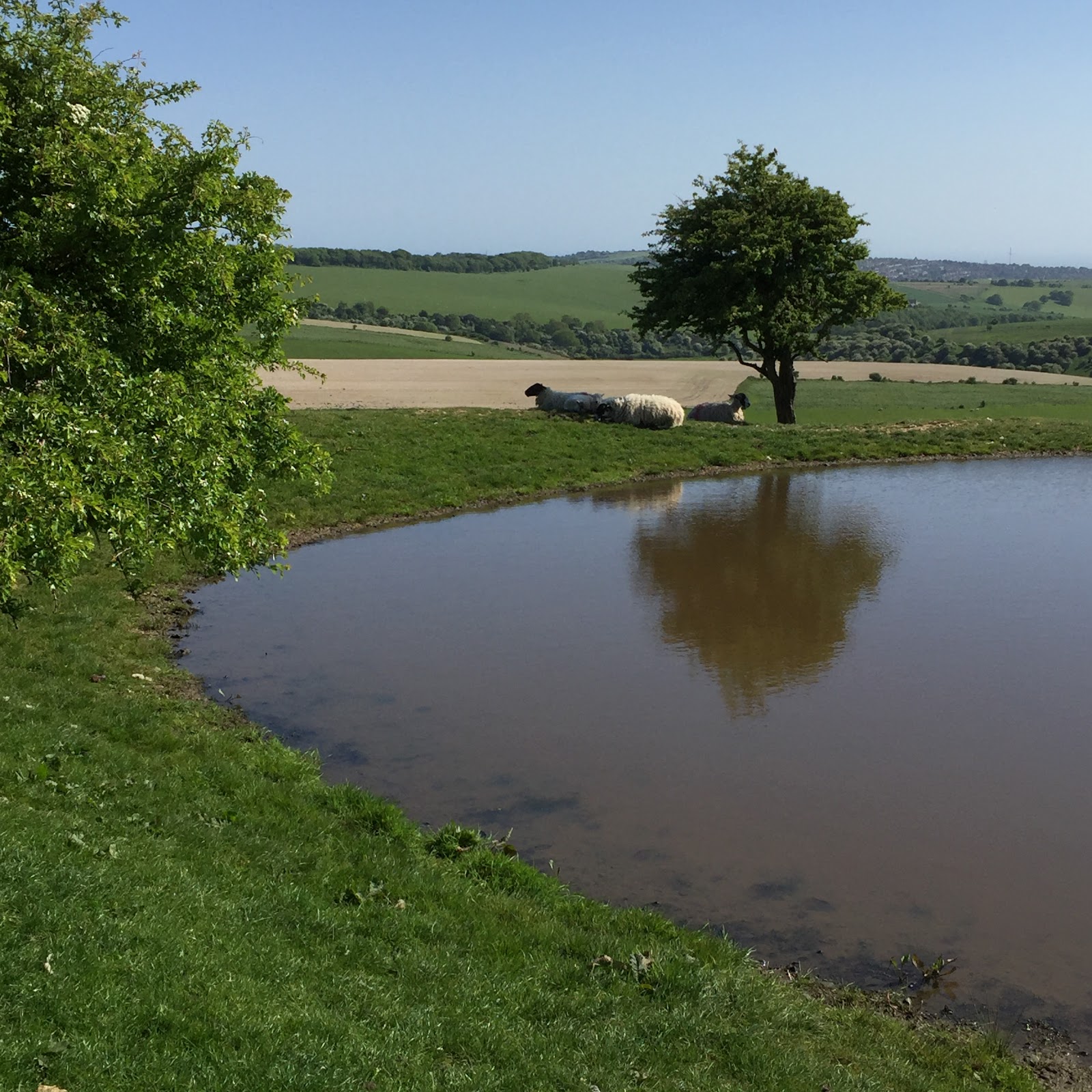
- View Sussex and the sea
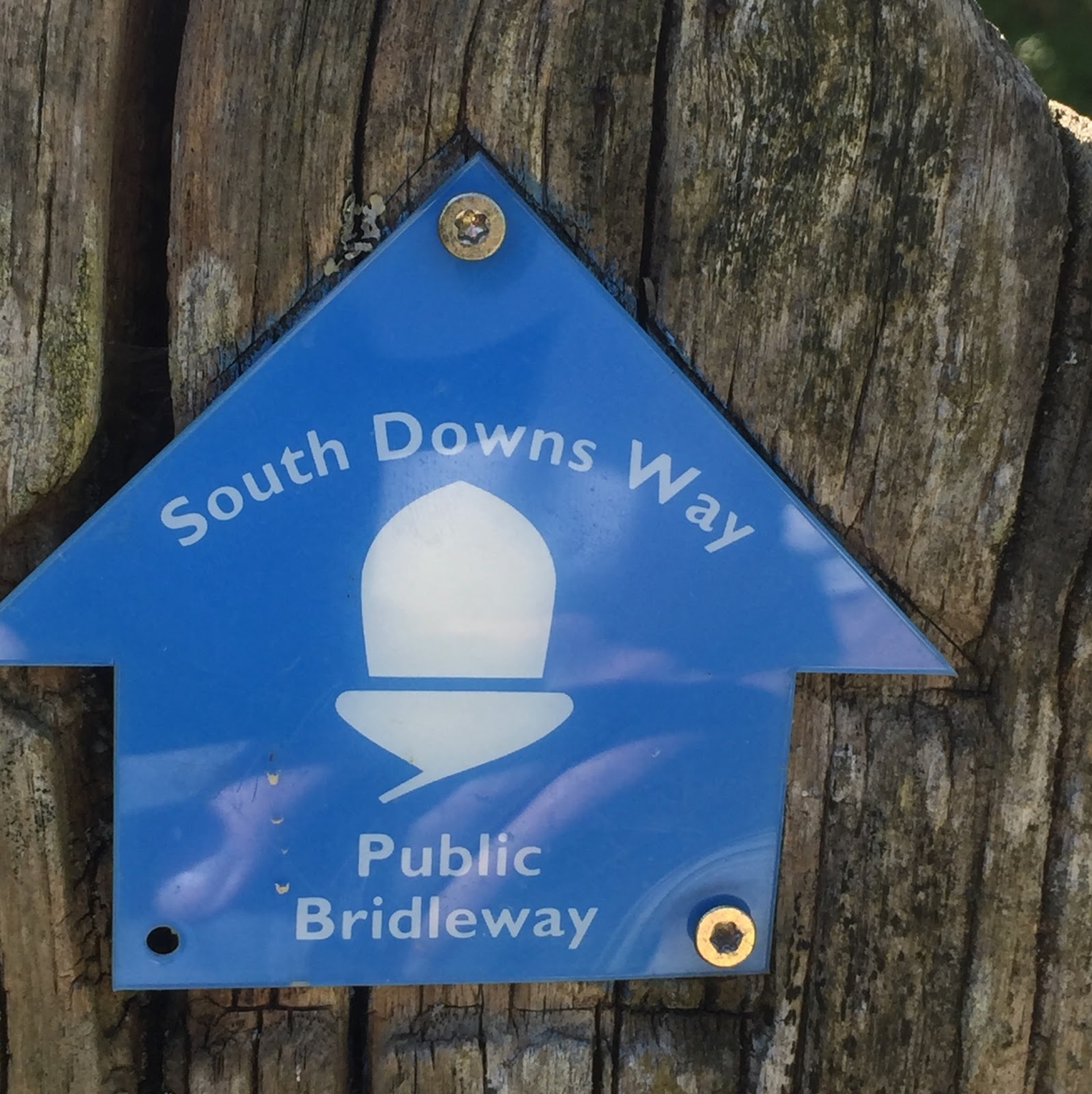
- From the South Downs Way
- Gaining oxygen for the spirit
- On footpaths dry all year
- Leaving little carbon footprint
Choose from 20 walks, 3 miles to 19 miles long, leaving 7 mid-Sussex stations and ending at 12 Sussex stations

Glynde to Lewes - 3 miles Turn left out of Glynde station and walk to the post office. Turn left then almost immediately right over the stile to ascend the path up Mount Caburn which runs with a fence to your left. At the gate go straight ahead with the tumulus on your left to the stile on the fence at the hill top. Continue down the other side following this path skirting Lewes golf course and then descend to Lewes station.

Southease to Glynde rail trail - 4 miles From Southease station turn right to follow the South Downs Way across the A26 Lewes to Newhaven road. Ascend the Downs enjoying panoramic views of Newhaven and Lewes. Before the transmitters turn left to follow the footpath down to the A27. Cross the road and walk on to Glynde station.

Falmer to Lewes rail trail - 5 miles From Falmer station adjacent to the football stadium head south via the university and up The Drove (B2123). After half a mile take the footpath on the left off the main road. After another half mile continue sharp right on the track as it crosses another one at a Newmarket Plantation. Continue on this track (Jugg’s Road) with its scenic views as it descends via Kingston near Lewes into Southover and then proceed to Lewes station.
Falmer to Southease rail trail - 6 miles As in the previous walk from Falmer station head south via the university and up The Drove (B2123). After half a mile take the footpath on the left off the main road. After another half mile continue sharp right on the track as it crosses another one at a Newmarket Plantation. Continue on this track (Jugg’s Road) but turn right above Kingston to continue along the South Downs Way enjoying views of Lewes and Rodmell to the beautiful Southease Church and then on to the station.

Hassocks to Falmer rail trail - 6 miles From Hassocks station follow the footpath besides the track heading towards Brighton. Cross the road junction after a mile and head across the sports field through Clayton up to Jack and Jill windmills. Head left and then take the right fork shortly after heading down via Lower Standean to Ditchling Road. Cross the road and turn right heading south on the footpath besides the road. After half a mile turn left and walk on to beautiful Stanmer village. Continue through the park and under the A27 to Falmer station.

Hassocks to Moulsecoomb rail trail - 6 miles As in the previous walk from Hassocks station follow the footpath besides the track heading towards Brighton. Cross the road junction after a mile and head across the sports field through Clayton up to Jack and Jill windmills. Head left and then take the right fork shortly after, heading down via Lower Standean to Ditchling Road. Cross the road and turn right heading south on the footpath through the woods besides the road. Cross the A27 at the junction with Ditchling Road heading down the road to Hollingbury for half a mile. Take the footpath on the left across open land with scenic views to Moulsecoomb station. Alternatively continue along the wooded footpath above the A27 to cross on the Coldean footbridge walking through the houses and open land to Moulsecoomb station.

Southease to Lewes rail trail - 7 miles From Southease station turn right to follow the South Downs Way across the A26 Lewes to Newhaven road. Ascend the Downs enjoying panoramic views of Newhaven and Lewes. Before the transmitters turn left to follow the footpath down to the A27. Cross the road and walk on past Glynde station to the post office. You can divert to see the Church and adjacent entrance to Glynde Place just up the road. Turn left via the post office then immediately right over the stile to ascend the path up Mount Caburn which runs with a fence to your left. At the gate go straight ahead with the tumulus on your left to the stile on the fence at the hilltop. Continue down the other side following this path skirting Lewes golf course and descend to Lewes station.

Glynde to Berwick rail trail - 8 miles Turn right out of the station and walk down to the A27. Cross the main road and walk up the minor road ascending the Downs. Turn left at the top to pass the transmitters and continue descending before Alfriston to Berwick Church where you can view the wall paintings. Proceed from there north along the Vanguard Way to Berwick station.

Hassocks to Portslade rail trail - 8 miles From Hassocks station follow the footpath south to the road and continue south along the road turning right at the riding school to head over the hills to Pyecombe. Cross the footbridge over the A23, ascend and then descend the path to Saddlescombe. Cross the road and continue on the path towards Devil’s Dyke. Descend the footpath south towards Brighton & Hove from the road below the restaurant. Cross the A27 by footbridge either at Foredown Tower or above Hangleton and walk downhill to Portslade station.

Southease to Berwick rail trail - 8 miles As in the previous walk from Southease station turn right to follow the South Downs Way across the A26 Lewes to Newhaven road. Ascend the Downs enjoying panoramic views of Newhaven and Lewes continuing on the South Downs Way almost to Alfriston. Descend to Berwick Church where you can view the wall paintings. Proceed from there north along the Vanguard Way to Berwick station.

Berwick to Eastbourne rail trail - 9 miles Turn right out of the station and follow the road then footpath to the A27 and then the road to Alfriston. At the first junction turn left and after a quarter mile join the South Downs Way up Wilmington Hill, possibly diverting to see The Long Man of Wilmington. Descend to Jevington Church and ascend for the last stretch which crosses the golf course. Descend from the hills to Eastbourne station.

Hassocks to Lewes rail trail - 9 miles From Hassocks station follow the footpath besides the track heading towards Brighton. Cross the road junction after a mile and head across the sports field through Clayton up to Jack and Jill windmills. Head left and continue following the South Downs Way to Ditchling Beacon and on to Lewes enjoying views of Sussex and the sea. Return from Lewes station.

Southease to Brighton rail trail - 9 miles From Southease station turn left and walk past the Church up to the road. Turn right along the road and then left in a few hundred yards onto the South Downs Way. After half a mile continue straight ahead as the Way veers right and head for Telscombe village. Enjoy the panoramic view as you descend from there to Telscombe cliffs on the outskirts of Peacehaven. Cross the A259 and follow various cliff, road or under cliff walks through Saltdean and Rottingdean. After passing Brighton Marina and Pier turn inland again to reach Brighton station.

Hassocks to Fishersgate rail trail - 10 miles As in a previous walk from Hassocks station follow the footpath south to the road and continue south along the road turning right at the riding school to head over the hills to Pyecombe. Cross the footbridge over the A23, ascend and then descend the path to Saddlescombe. Cross the road and continue on the path towards Devil’s Dyke. Descend from there on the South Downs Way continuing above Fulking to Truleigh Hill. After the radio station there turn left onto the lane which descends over Southwick Hill and down to Fishersgate station.

Seaford to Eastbourne rail trail - 10 miles From Seaford station head down Church Street towards the promenade. Turn left and continue up the cliffs along the Vanguard Way to Cuckmere Haven. At low tide you can wade across the river to start the Seven Sisters walk at Cliff End. At high tide the walk requires an additional 2 miles to follow the Cuckmere river upstream to the pub, cross the bridge and turn right to follow the downstream footpath which ascends to Cliff End. Follow the scenic Seven Sisters cliff walk via Birling Gap, Belle Tout disused Lighthouse and Beachy Head and descend to Eastbourne station.

Seaford to Berwick rail trail - 13 miles Turn right outside Seaford station. After half a mile turn left onto a footpath, continuing left again onto Alfriston Road. Follow the road over the Downs into historic Alfriston and then the Vanguard Way to Berwick station.

Southease to Eastbourne rail trail - 14 miles As in a previous walk from Southease station turn right to follow the South Downs Way across the A26 Lewes to Newhaven road. Ascend the Downs and continue on the Way enjoying panoramic views. Descend to Alfriston and then ascend the South Downs Way again up Wilmington Hill, possibly diverting to see The Long Man of Wilmington. Descend to Jevington Church and ascend for the last stretch which crosses the golf course. Descend from the hills to Eastbourne station.
Hassocks to Plumpton rail trail - 15 miles From Hassocks station follow the footpath besides the track heading towards Brighton. Cross the road junction after a mile and head across the sports field through Clayton up to Jack and Jill windmills. Head left and continue on the South Downs Way. A mile or so after Ditchling Beacon head downhill on one of the paths towards Plumpton College crossing the main road. Continue in the same northerly direction either on the footpath east of the College or Plumpton Lane further east. The walk concludes by following the perimeter of the Race Course to Plumpton station.

Lewes to Eastbourne rail trail - 16 miles Turn right out of Lewes station, right and then right again over the river along Cliffe High Street and then up Chapel Hill. Follow the footpath skirting the golf course towards Mount Caburn descending on the footpath to Glynde. Head south through the village, cross the A27 and walk up the minor road ascending the Downs. Turn left at the top to pass the transmitters and continue on the South Downs Way to Eastbourne and the station.

Hassocks to Worthing rail trail - 19 miles As in a previous walk from Hassocks station follow the footpath south to the road and continue south along the road turning right at the riding school to head over the hills to Pyecombe. Cross the footbridge over the A23, ascend and then descend the path to Saddlescombe. Cross the road and continue on the path towards Devil’s Dyke. Descend from there on the South Downs Way continuing above Fulking to Truleigh Hill. Continue past the Youth Hostel down to the A283. Continue on the Way across the road and the River Adur to walk south of Steyning, possibly diverting to see the historic St. Botolph’s Church. Head up Annington Hill over Lancing College and continue on the South Downs Way until it reaches the road. Go left and descend Titch Hill turning right a mile down at the farm. Follow the footpath to descend Lambleys Lane down to the A27. Cut through the housing estates to Broadwater Road and down to Worthing station.
Comments
Post a Comment